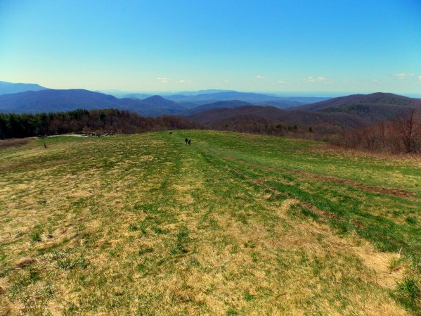
Max Patch is a bald atop Max Patch Mountain. The mountain is about an hour northwest of Asheville on the Tennessee/ North Carolina border in the Pisgah National Forrest. The mountain top was cleared in the 1800’s to use as a farm. In the 1920’s they began using it as an airplane landing strip. Tourist and locals would pay for a short flight around five mountain ranges. Yes, that’s right, I wrote FIVE! On a clear day, it has a 360 degree view where you can see the closest mountain range named Bald Mountains, the Unakas Mountains to the north, the Great Smoky Mountains to the south, the Black Balsams and the Black Mountains to the southeast. We were very lucky on the day we went to take these pictures. They were no clouds, only mountains in the sky.
Today the US Forrest Service owns the land and keeps the bald cleared. It has a variety of trails ranging from a rigorous 10 miles starting at the bottom to an easy 1.5 mile stroll from the parking lot near the bald. The Appalachian Trail also goes over the peak and there are places to camp before and after the bald. It was definitely worth a trip!


